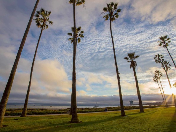
Marked by a tall Southern Pacific railroad trestle that crosses the winding Gaviota Creek, Gaviota State Park is a popular spot for swimming, picnicking, fishing, camping and hiking. The park is located 33 miles west of Santa Barbara, making it an ideal locale for a quick day trip.
Gaviota State Park Beach
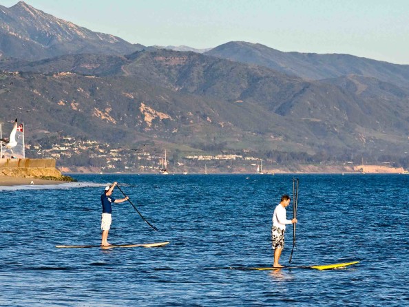
Surprisingly enough, many locals don’t even know about this Santa Barbara hidden gem. From the parking lot, visitors meander under the train trestle to get to the water. There are lifeguards on duty, as well as plenty of room for walking, swimming and other beach-day activities. Beach wheelchairs are also available to rent. Find more information on amenities and accessibility.
Hiking Trails & Gaviota Peak
Within its 2,000-plus acres of oak woodland and chaparral backcountry, the park offers nearly a dozen hiking trails of varying lengths and difficulty. Advanced hikers will enjoy the Overlook Fire Road trail, a three-mile loop that ends with sweeping vistas of the Channel Islands. For an even bigger challenge, the strenuous six-mile hike to the 2,485-foot Gaviota Peak rewards with panoramic views of the Lompoc Valley. Visitors can also hike from the parking lot to the nearby Gaviota Hot Springs—about 2.5 miles—for a relaxing soak in the healing mineral waters. Discover more hiking trails in Santa Barbara.
Gaviota State Park Campground
There are 41 campsites available that can accommodate tents, trailers (up to 25 feet) and RVs (up to 27 feet). Campground amenities include restrooms and showers, picnic tables and barbecue pits. Reserve your stay by visiting ReserveCalifornia.com.
Explore more campgrounds and RV parks in Santa Barbara.
History of Gaviota State Park
Gaviota State Park played a significant part in Santa Barbara’s early history. In 1769, Spanish officer Gaspar de Portolá and his crew landed in The American Riviera® while sailing along the California coastline. The soldiers named the area “La Gaviota,” the Spanish word for seagull. Nearly a century later, American explorer John C. Frémont marched toward Santa Barbara through what is now known as Gaviota Pass. It was on his journey that he and his soldiers seized Santa Barbara from the Spanish. Flash forward to 2004, when the beach was made famous after being featured in the Oscar-nominated movie “Sideways.”
Amenities & Accessibility
Along with hiking trails and campgrounds, Gaviota State Park offers a host of amenities, including picnic tables, restrooms and showers. For visitors in wheelchairs or with mobility needs, the park has beach wheelchairs (reservations only), as well as ADA-compliant showers and restrooms in the campgrounds. To find out more about amenities and accessibility, please give the park office a call at 805-968-1033.
Directions & Parking
From Santa Barbara, drive up-coast (west) some 30 miles on Highway 101. Just as the highway makes a dramatic bend north, you’ll spot a sign for Gaviota State Park. Merge into the left turn lane and turn left across the highway onto the state park entry road. The park road leads to a kiosk (parking fee required) and then down to the beach.
Other Things to Know Before You Go
Due to its location on the Santa Barbara coastline, the park is known for occasional wind advisories. Check the weather or reach out to the park directly to assess weather conditions prior to your visit.